Maps of Eametsa, Põhja-Pärnumaa Parish
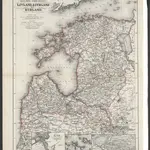 1867|Issleib, Wilhelm1:1 350 000
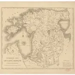 1828
1828
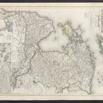 1860|Meyer, J.
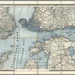 1870|Schubert, Friedrich Theodor1:1 400 000
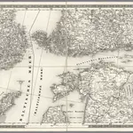 1837|Schubert, Friedrich Theodor1:1 400 000
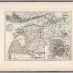 1854|Renner, L.1:3 500 000
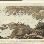 1855|Packer, Thomas
Old maps of Eametsa, Põhja-Pärnumaa Parish
Discover the past of Eametsa, Põhja-Pärnumaa Parish on historical maps
Old maps of Eametsa, Põhja-Pärnumaa Parish
Discover the past of Eametsa, Põhja-Pärnumaa Parish on historical maps
Looking for a Google Maps API Alternative?