Document

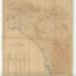
Map of a Part of Southern California Showing Precipitation and Gaging Stations
Relief shown by contours and spot heights. Map is plate 1 from the U.S. Geological Survey's Water-supply paper 426. Indexed.
UCLA LibraryMcGlashan, H. D. (Harry Deyoe)
1917
Washington, D.C. : U.S. Geological Survey
1:250 000

