Document

12 Mt. Holly.
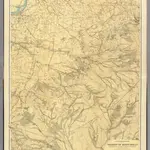
A topographical map of the vicinity of Mount Holly from Bordentown southward to Winslow and Woodmansie. George H. Cook, State Geologist, C.C.Vermeule, topographer. 1887. Geological Survey of New Jersey. Atlas sheet no. 12, Mount Holly. Julius Bien & Co., Lith. (1888)
David RumseyVermeule, C. C. (Cornelius Clarkson), 1858-1950
1888
1888
Julius Bien
1:63 360

